PRODUCTS
MapSavvy Web Map Service
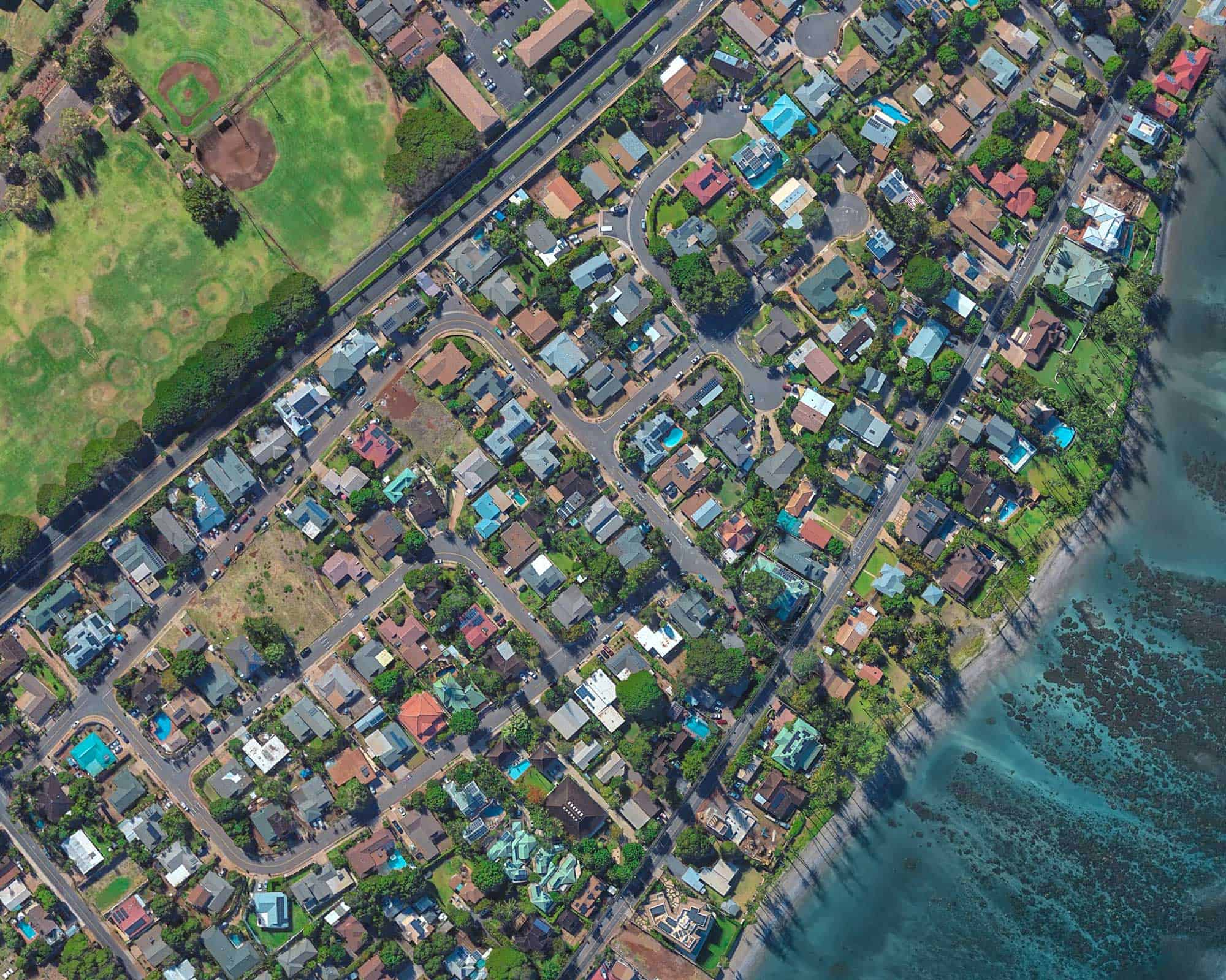
An affordable, easy-to-use source of aerial imagery for business, government, and research teams. OGC-compliant imagery starting at $999/year.
An affordable, easy-to-use source of aerial imagery for business, government, and research teams. OGC-compliant imagery starting at $999/year.
MapSavvy is one of the most affordable web map service solutions on the market — available in Bing Maps WMS and HERE Maps WMS options.
Starting at just $999/year for access to 20,000 images — a fraction of the cost of comparable imagery services.
Choose from two leading imagery providers — Bing Maps WMS or HERE Maps WMS — based on your needs and preferred platform.
All MapSavvy imagery is OGC (Open Geospatial Consortium) compliant, ensuring compatibility with standard GIS and CAD workflows.
Designed for professionals who need imagery fast — minimal setup, intuitive integration, no steep learning curve.
Insert high-resolution aerial imagery directly into CAD documents, GIS platforms, and spatial analysis workflows. OGC compliance ensures seamless integration with ArcGIS, QGIS, and other standard tools.
Access worldwide aerial imagery for environmental research, land use studies, infrastructure assessment, and academic projects. High-clarity images make pattern and trend analysis easier and more reliable.
Government agencies rely on MapSavvy for planning, permitting, emergency response, and public record documentation. Affordable pricing makes it accessible for organizations of all budget sizes.
Two providers, multiple layer types — choose the imagery that best fits your workflow.
Five imagery layer options via Bing Maps:
Three imagery layer options via HERE Technologies:
Visit MapSavvy.com for full documentation, imagery samples, and to start your free trial.